Log in
All resources
Create a design
324 Free Artworks of 17th Century Maps Of France
cartography
francia
chalcography
fondo antiguo
calcografía
cartografía
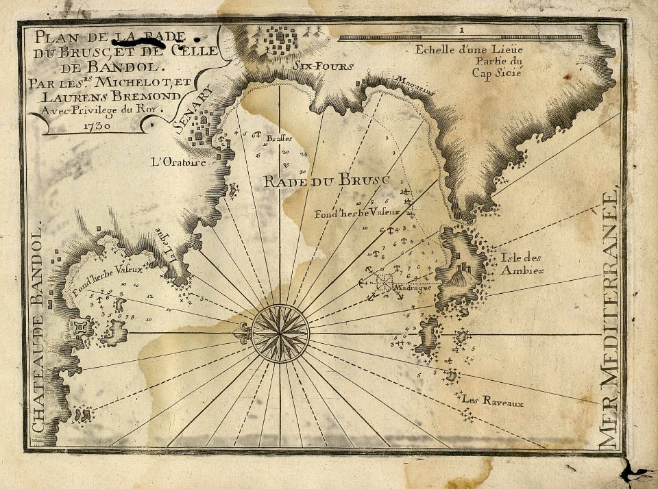
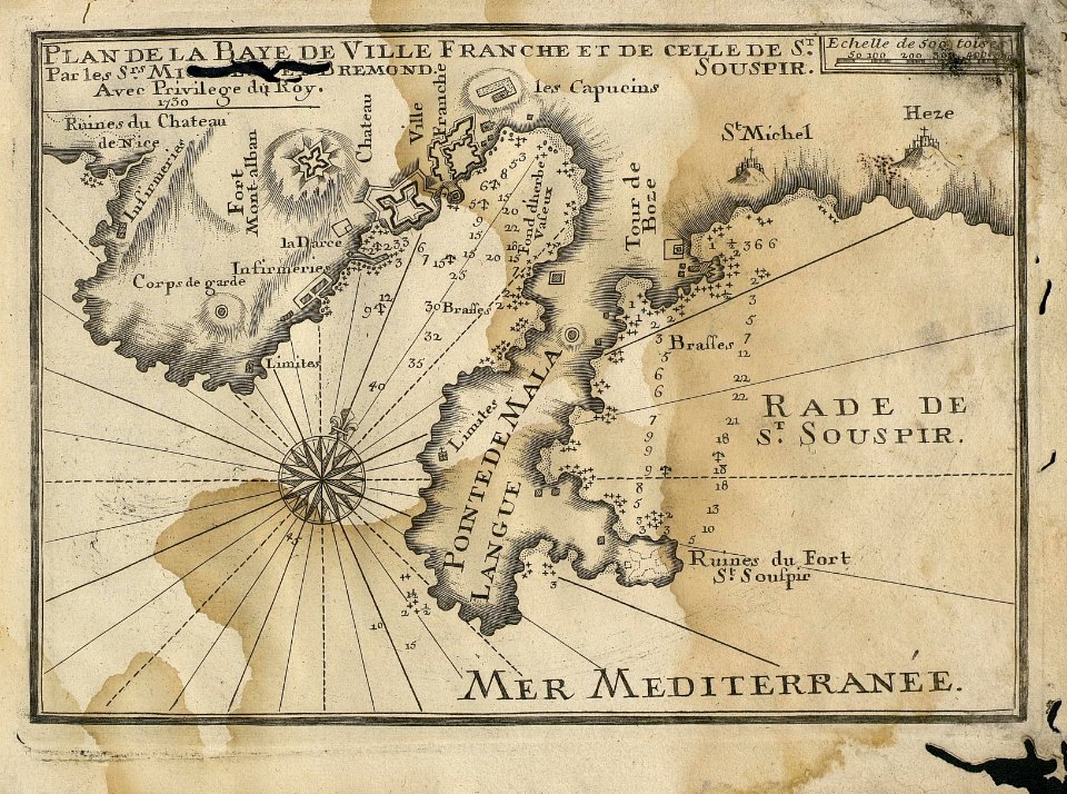
sea
harbor
mediterranean
port
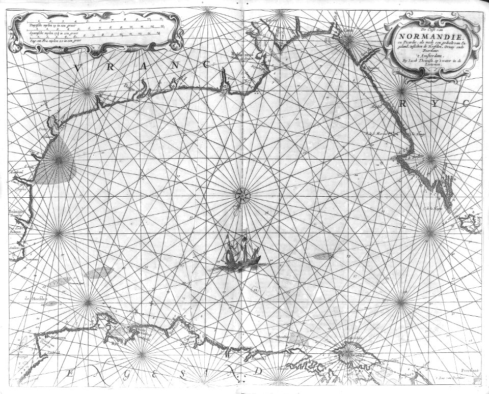
maps
sea
maps
sea
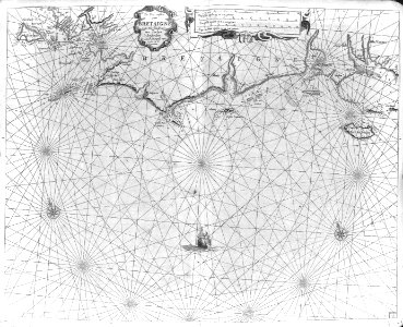
cartography
maps
cartography
maps
17th-century maps of vienna
bartholomeo camuccio
17th-century maps of egypt
philippe de la rué
maps
sea
maps
sea
maps
sea
maps
sea
maps
sea
atlas van der hagen (volume 3)
atlas van der hagen
maps
sea
maps
sea
bern city map of 1638 by matthäus merian
baroque
17th-century maps of lorraine
bussemacher (surname)
bibliothèque nationale de france
joachim ottens
atlas, ou représentation du monde universel et des parties d'icelui, faicte en tables et descriptions très amples et exactes, divisé en deux tomes. édition nouvelle... - btv1b53103889w
17th-century maps of guyana
17th-century maps of rhineland-palatinate
maps by nicolaes visscher i
atlas, ou représentation du monde universel et des parties d'icelui, faicte en tables et descriptions très amples et exactes, divisé en deux tomes. édition nouvelle... - btv1b53103889w
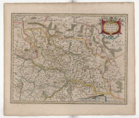
17th-century maps of silesia
maps by pieter mortier
le neptune francois
old maps of scotland from the norman b. leventhal map center
old maps of ireland from the norman b. leventhal map center
collections of the musée des beaux-arts de la ville de paris
baroque
1696 maps of the caribbean
1690s maps of mexico
301 - 324 of 324
/ 4